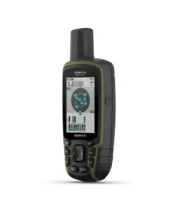
Garmin Montana 700 SEA
Rp10.900.000
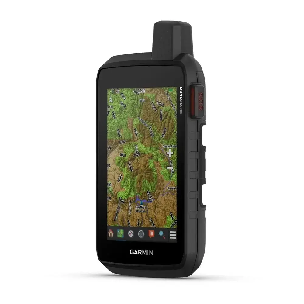
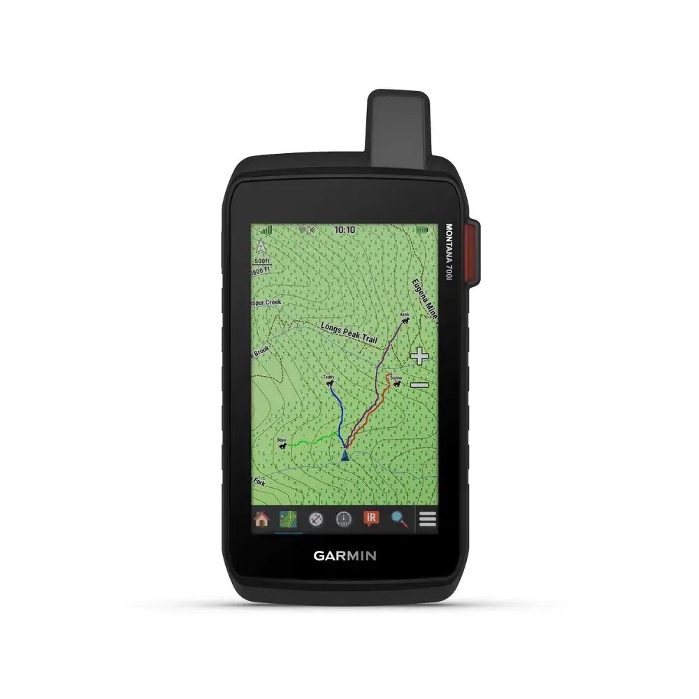
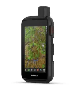
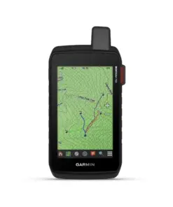
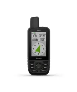
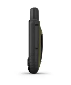
GPS Genggam Garmin Montana 700 SEA dengan layar 5 inci, waterproof, IPX7, kapasitas memori 16 GB, dilengkapi slot kartu memori hingga 32 GB, sesuai MIL-STD-810.
Garmin Montana 700 SEA – Rugged GPS Touchscreen Navigator
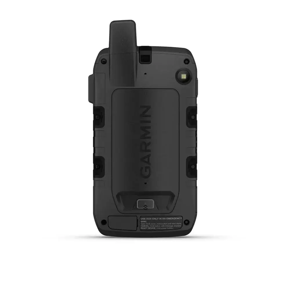
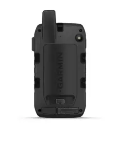
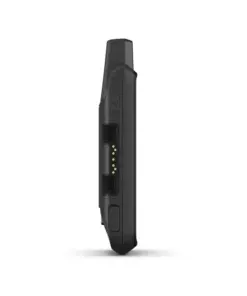
Garmin Montana 700 SEA adalah alat navigasi GPS khusus untuk digunakan di alam bebas. Dengan layar sentuh yang responsif dan bodi yang kokoh, Montana 700 SEA siap menemani anda dalam berbagai aktivitas luar ruangan.
Fitur-Fitur Garmin Montana 700 SEA
Waterproof
GPS Garmin ini tahan air dengan sertifikasi IPX7 yang dapat terendam air hingga kedalaman 1 meter selama 30 menit tanpa mengalami kerusakan.
Sesuai Standar Militer
Dibuat dengan standar militer MIL-STD-810, GPS tracker ini tahan banting dan suhu ekstrim.
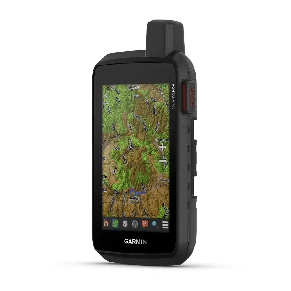
Kapasitas Memori Besar
Dilengkapi dengan memori internal 16 GB, GPS handheld ini dapat menyimpan peta, data perjalanan dan foto. Kapasitas penyimpanan yang tersedia untuk pengguna bervariasi tergantung pada peta yang sudah terinstal.
Interface NMEA0183
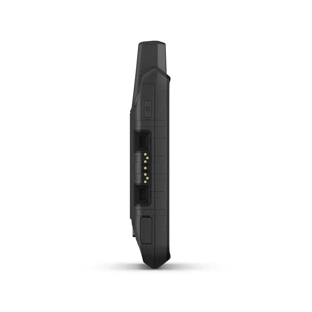
Alat navigasi ini dilengkapi dengan port micro USB berkecepatan tinggi untuk transfer data ke komputer. Selain itu, GPS handheld ini juga sesuai dengan standar NMEA 0183 sehingga dapat terhubung dengan GPS kapal, fishfinder, NAVTEX dan DSC.
Kapasitas Baterai Awet
Dalam mode GPS, GPS genggam ini dapat digunakan hingga 18 jam dengan sekali pengisian. Untuk mode ekspedisi, baterai ini dapat digunakan hingga 330 jam.
Slot Kartu Micro SD
Kapasitas penyimpanan dapat diperluas hingga 32 GB dengan menggunakan kartu microSD.
Spesifikasi Garmin Montana 700 SEA
| General | |
| Dimensions | 8.76 x 18.30 x 3.27 cm |
| Touch Screen | ✔ |
| Screen Size | 6.48 x 10.80 cm; diagram 12.70 cm |
| Screen Resolution | 480 x 800 pixels |
| Screen Type | Transflective WVGA, dual orientation |
| Heavy | 397 g with included lithium-ion battery pack |
| Water Resistance | IPX7 |
| Battery Type | Rechargeable lithium ion battery (included) or 3 AA batteries (not included); lithium recommended |
| Battery Life | GPS Mode: up to 18 hours |
| Expedition Mode: up to 330 hours | |
| MIL-STD-810 | ✔ (Heat, shock, water, vibration) |
| Interface | High speed micro USB and NMEA 0183 compatible |
| Memory/History | 16 GB (User space varies depending on included maps) |
| Maps & Memory | |
| Default Map | NO |
| Ability To Add Maps | ✔ |
| Base Map | ✔ |
| Automatic Routing (Turn By Turn Routing On Highway) | ✔(With optional mapping for detailed roads) |
| Map Segment | 15000 |
| Birdseye | (Directly to device) |
| Includes Detailed Hydrographic Features (Shorelines, Lake/Riverlines, Wetlands Annual And Seasonal Flows) | X |
| Including Interesting Places To Search For (Parks, Camping Places, Viewpoints And Picnic Places) | X |
| Featuring State, Provincial And Local Parks, Forests And Wildlife Areas | X |
| External Memory Storage | ✔(MicroSD™ card up to 32 GB) |
| Waypoint/Favorite/Location | 10000 |
| Track | 250 |
| Navigation Track Log | 20000 points, 250 saved gpx paths, 300 saved fit activities |
| Navigation Route | 250, 250 points per route, 50 automatic routing points |
| RinexLogging | ✔ |
| Sensor | |
| High Sensitivity Receiver Unit | ✔ |
| GPS | ✔ |
| Glonass | ✔ |
| Galileo | ✔ |
| Barometric Altimeter | ✔ |
| Compass | ✔(3 axis tilt compensation) |
| GPS Compass (While Moving) | |
| Daily Smart Features | |
| Connect IQ (Watch Display, Data Column, Widgets And Downloadable Apps) | ✔ |
| Smart Notifications On Handheld Devices | ✔ |
| Virb Remote | ✔ |
| Can Be Connected With Garmin Connect Mobile | ✔ |
| Active Weather | ✔ |
| Safety and Tracking Features | |
| Live Track | ✔ |
| Outdoor Recreation | |
| Point To Point Navigation | ✔ |
| Area Calculation | ✔ |
| Hunting/Fishing Calendar | ✔ |
| Sun And Moon On Information | ✔ |
| Xero Location | ✔ |
| Practical For Geocaching | ✔(Geocache Live) |
| Compatible With Custom Maps | ✔(500 custom map tiles) |
| Image Viewer | ✔ |
| Remote Inreach Widget | ✔ |
| LED Beacon Flashlight | ✔ |
| inReach Features | |
| Compatible With Inreach Remote | ✔ |
| Outdoor Applications | |
| Compatible With Garmin Explore App | ✔ |
| Compatible With Garmin Explore Website | ✔ |
| Dog Tracking | (When connected to a compatible dog tracking system) |
| Connection | |
| Wireless Connectivity Connection | ✔(Wi-Fi®, Bluetooth®, ANT+®) |
Related products
Alat Navigasi
Alat Navigasi
Alat Navigasi
Alat Navigasi
Alat Navigasi
Alat Navigasi

