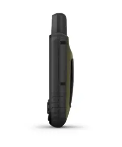
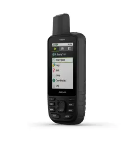
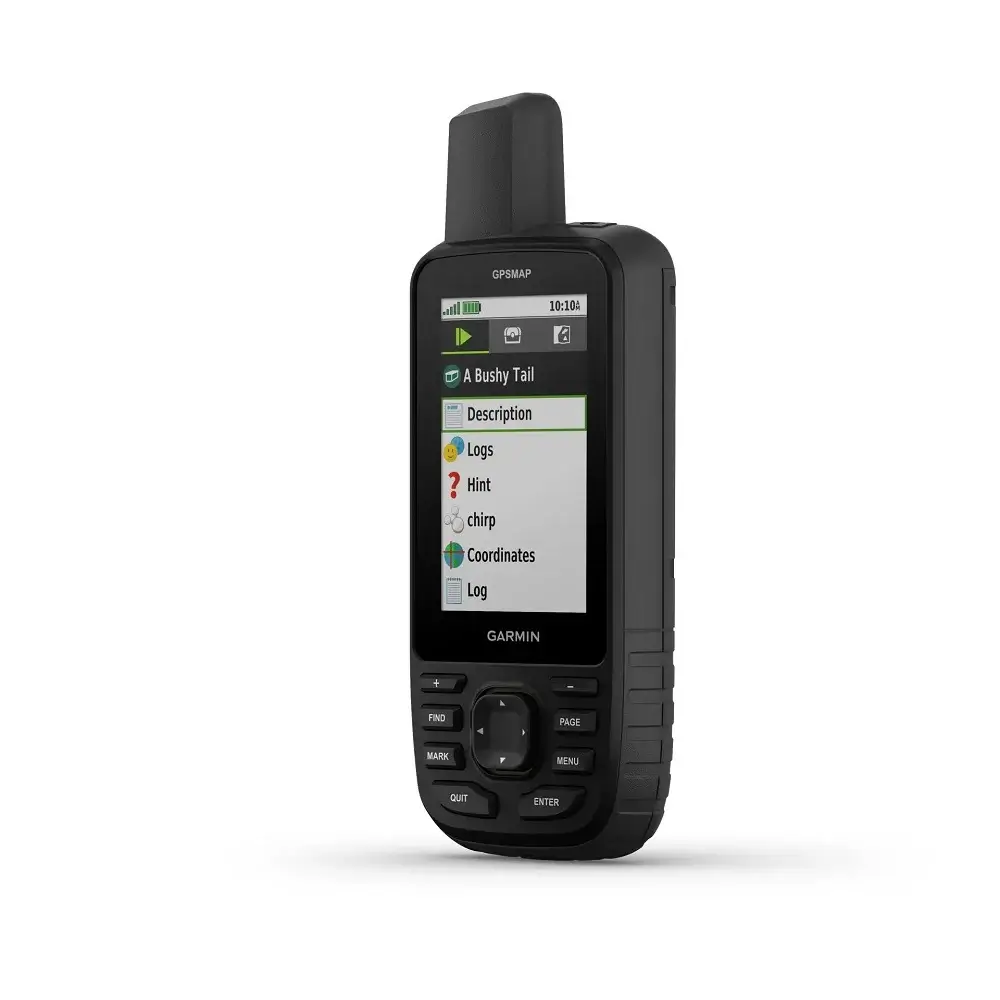
Garmin GPSMAP 67 SEA
Rp9.900.000
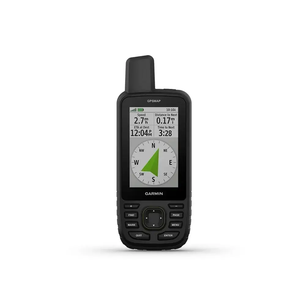
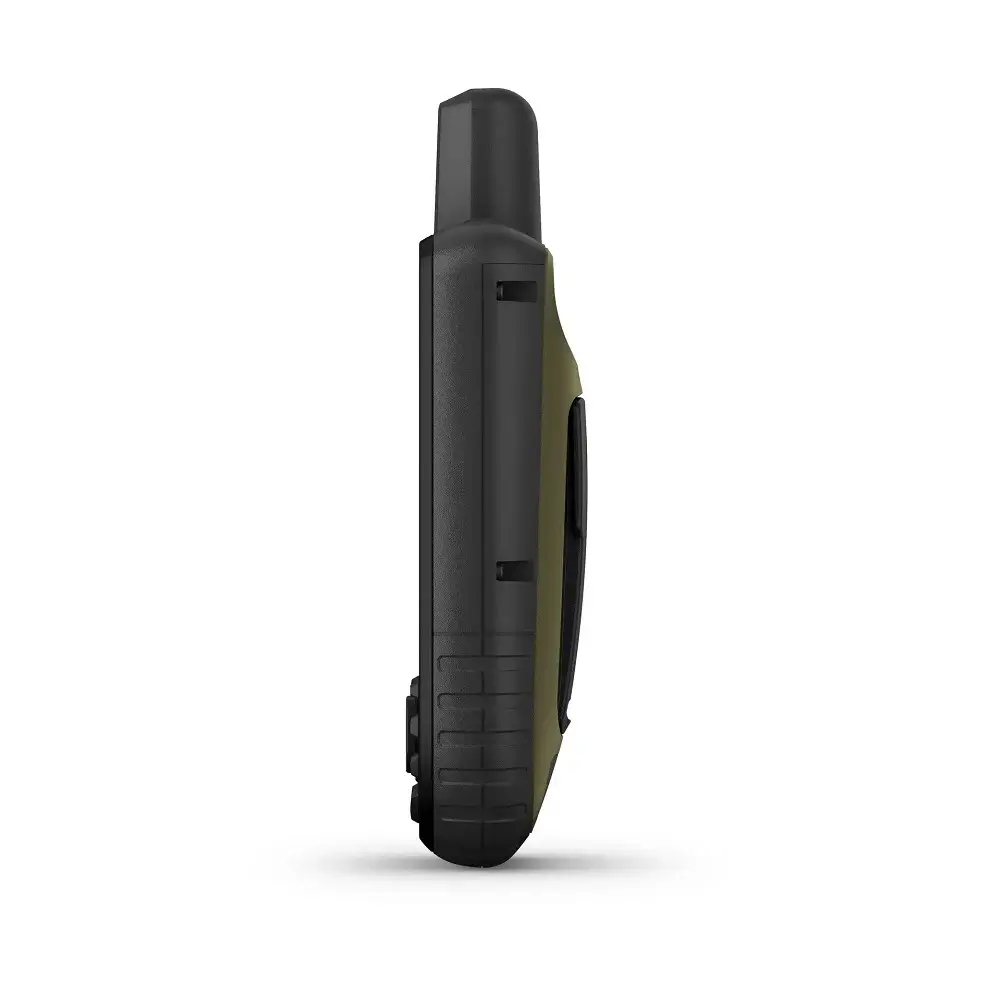
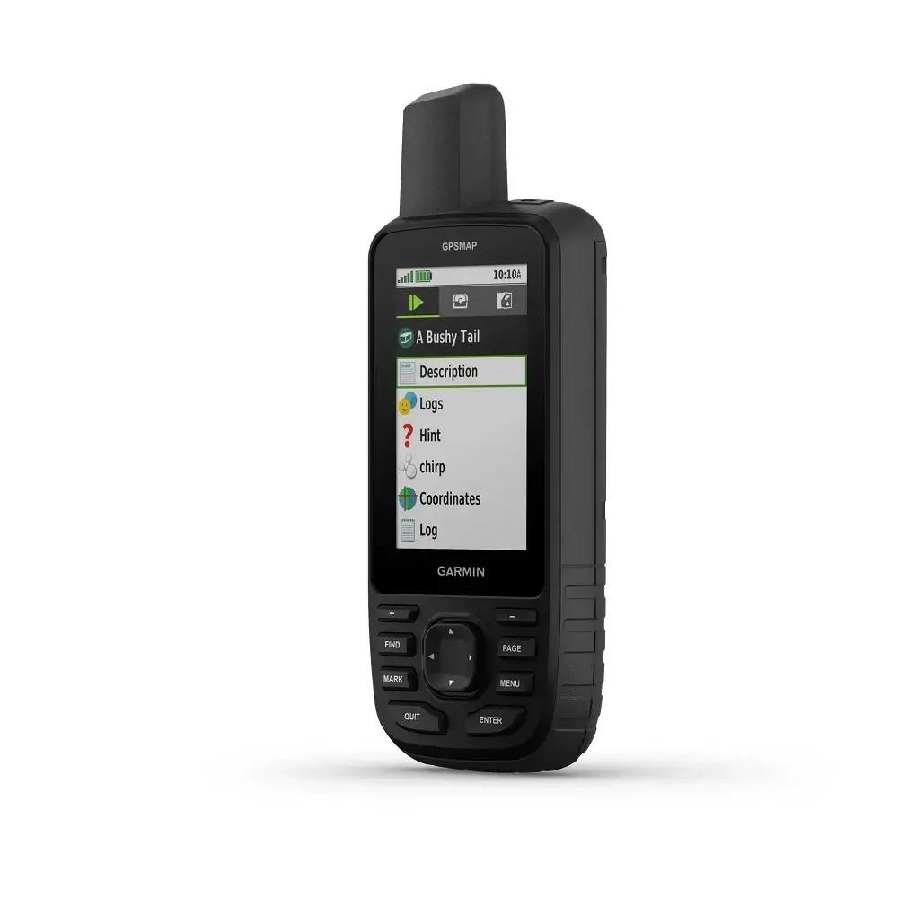
Garmin GPSMAP 67 SEA – GPS genggam dengan layar 3 inci, resolusi 240 x 400 pixel, waterproof, IPX7, kapasitas memori 16 GB, 180 jam (mode standar), 840 jam (mode ekspedisi).
Garmin GPSMAP 67 SEA – GPS Handheld
Garmin GPSMAP 67 SEA menghadirkan navigasi yang akurat. Teknologi multi band memastikan anda selalu mendapatkan posisi yang tepat bahkan di daerah dengan sinyal yang lemah.
Dilengkapi berbagai fitur canggih, seperti: peta topografi, kompas elektronik dan altimeter, alat navigasi ini adalah alat yang serbaguna untuk berbagai aktivitas outdoor.
Fitur-Fitur Garmin GPSAP 67 SEA
Waterproof
Perangkat ini dibuat dengan rating IPX7 yang tahan air dan dapat terendam air hingga kedalaman 1 meter selama 30 menit.
Standar Militer MIL-STD-810
Garmin GPSMAP 67 SEA telah lolos uji standar militer MIL-STD-810 sehingga tahan suhu ekstrim, tahan air dan tahan banting.
Layar dengan Resolusi Tinggi
GPS handheld ini dilengkapi layar warna berukuran 3 inci dengan resolusi 240 x 400 piksel. Layar ini dibuat khusus agar mudah dibaca meskipun di bawah sinar matahari langsung.
Baterai Lithium
GPSMAP 67 SEA menggunakan baterai lithium ion (Li-ion) yang dapat diisi ulang dengan mudah.
Kapasitas Baterai Besar
Alat navigasi ini memiliki daya tahan baterai yang sangat baik dan dapat bertahan hingga 180 jam dalam penggunaan normal dan hingga 840 jam dalam mode ekspedisi.
Memori Internal Besar
Berikutnya, alat navigasi ini memiliki memori internal sebesar 16 GB. Ruang penyimpanan yang tersedia untuk pengguna dapat bervariasi tergantung pada peta yang telah terinstal.
Interface USB-C
Untuk menghubungkan GPS ini dengan komputer atau perangkat lainnya, alat ini menggunakan port USB C yang modern.
Multi Band & GNSS
Dengan teknologi multi band dan dukungan GNSS yang luas, GPS tracker ini dapat menerima sinyal dari berbagai satelit navigasi global (GPS, GLONASS, Galileo dan QZSS).
Isi Dalam Box
- Unit GPS
- Kabel USB Tipe A ke Tipe C
- Klip Karabiner
- Buku Panduan
Spesifikasi Garmin GPSMAP 67 SEA
| General | |
| Lens Material | chemically strengthened glass |
| Dimension | 2.5” x 6.4” x 1.4” (6.2 x 16.3 x 3.5 cm) |
| Weight | 8.1 oz (230 g) with batteries |
| Water rating | IPX7 |
| MIL-STD-810 | Yes (thermal, shock, water); bare unit only |
| Display Type | transflective color TFT |
| Display Size | 1.5″W x 2.5″H (3.8 x 6.3 cm); 3″ diag (7.6 cm) |
| Display resolution | 240 x 400 pixels |
| Battery type | rechargeable, internal lithium-ion |
| Battery life | Up to 180 hours in default mode |
| Up to 840 hours in expedition mode | |
| Memory/History | 16 GB (user space varies based on included mapping) |
| Interface | USB C |
| Maps & Memory | |
| Preloaded maps | Yes (TopoActive, routable) |
| Ability to add maps | ✔ |
| Basemap | ✔ |
| Automatic routing (turn by turn routing on roads) for outdoor activities | ✔ |
| Map segments | ✔ |
| Satellite Imagery | Yes (direct to device) |
| Includes detailed hydrographic features (coastlines, lake/river shorelines, wetlands and perennial and seasonal streams) | ✔ |
| Includes searchable points of interests (parks, campgrounds, scenic lookouts and picnic sites) | ✔ |
| Displays national, state and local parks, forests, and wilderness areas | ✔ |
| External memory storage | Yes (32 GB max microSD™ card) |
| Waypoints/favorites/locations | 10000 |
| Courses | 250, 200 course points per course |
| Tracks | 250 |
| Navigation Track Log | 20,000 points, 250 saved gpx tracks, 300 saved fit activities |
| Activities | ✔ |
| Navigation Routes | 250, 250 points per route; 50 points auto routing |
| Rinex logging | ✔ |
| Sensors | |
| GPS | ✔ |
| GLONASS | ✔ |
| Galileo | ✔ |
| QZSS | ✔ |
| BeiDou | ✔ |
| IRNSS | ✔ |
| Barometric altimeter | ✔ |
| Compass | Yes (tilt compensated 3 axis) |
| High sensitivity receiver | ✔ |
| GPS compass (while moving) | ✔ |
| Multi-band frequency support | ✔ |
| Daily Smart Features | ✔ |
| Connect IQ™ (downloadable watch faces, data fields, widgets and apps) | ✔ |
| Smart notifications on handheld | ✔ |
| Weather forecasts | ✔ |
| Active Weather | ✔ |
| VIRB® Remote | ✔ |
| Pairs with Garmin Connect™ Mobile | ✔ |
| Safety and Tracking Features | |
| LiveTrack | ✔ |
| Tactical Features | |
| XERO™ Locations | ✔ |
| Ballistics solver | Yes (unlock required) |
| Outdoor Recreation | |
| Point to point navigation | ✔ |
| TracBack® | ✔ |
| Area calculation | ✔ |
| Fish forecast | ✔ |
| Sun and moon information | ✔ |
| Geocaching-friendly | Yes (Geocache Live) |
| Custom maps compatible | Yes (500 custom map tiles) |
| Picture viewer | ✔ |
| LED beacon flashlight | ✔ |
| inReach® Features | |
| inReach remote compatible | ✔ |
| Outdoor Applications | |
| Compatible with Garmin Explore™ app | ✔ |
| Garmin Explore website compatible | ✔ |
| Connections | |
| Connections Wireless Connectivity | Yes (Wi-Fi®, BLUETOOTH®, ANT+®) |
Related products
Alat Navigasi
Alat Navigasi
Alat Navigasi
Alat Navigasi
Alat Navigasi
Alat Navigasi

