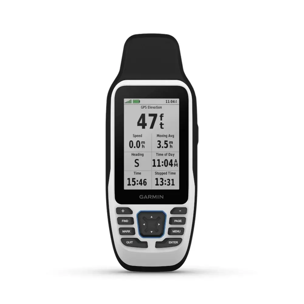
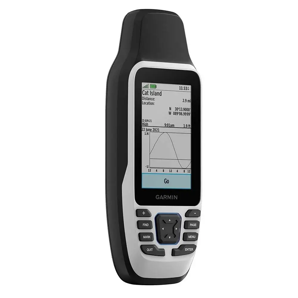
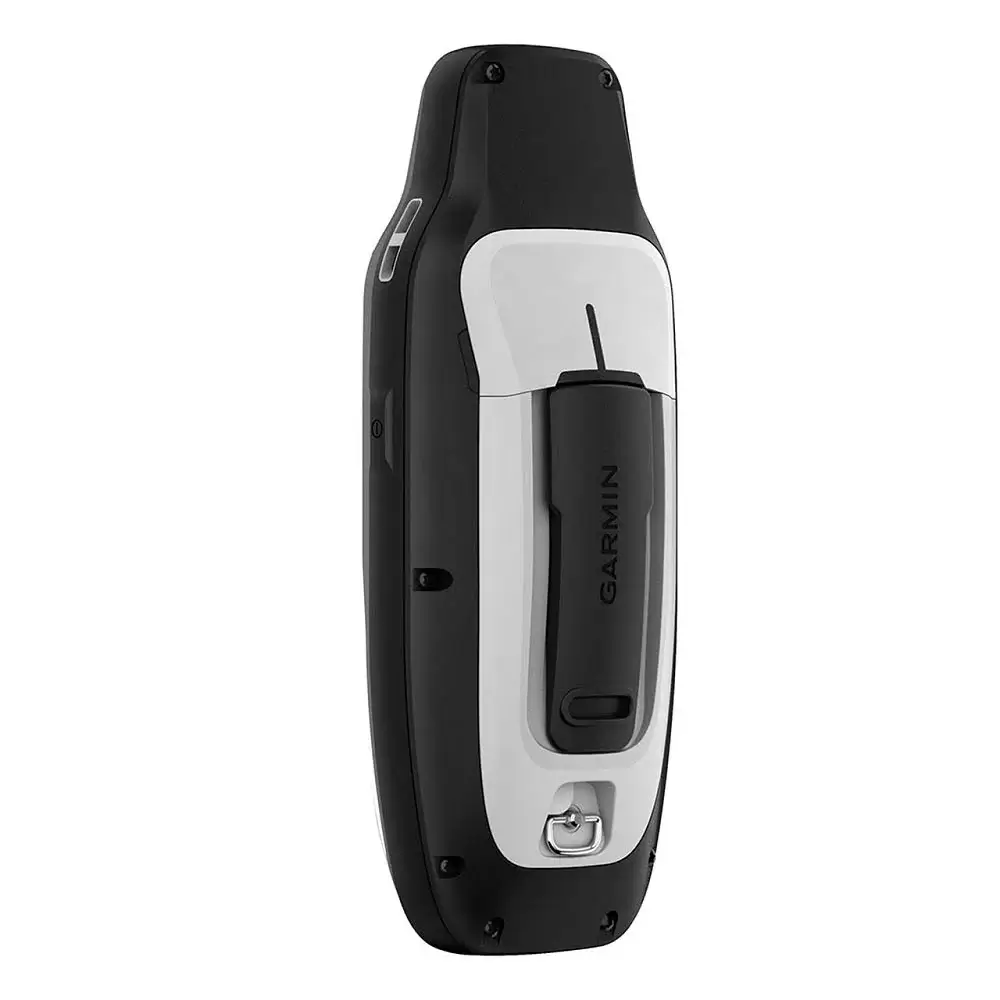
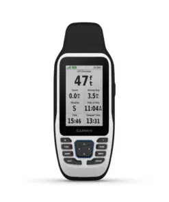
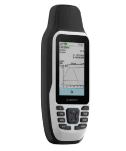
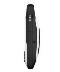
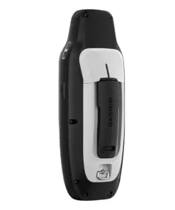
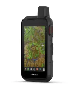
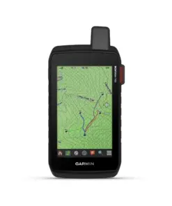
Garmin GPSMAP 79s
Rp7.000.000
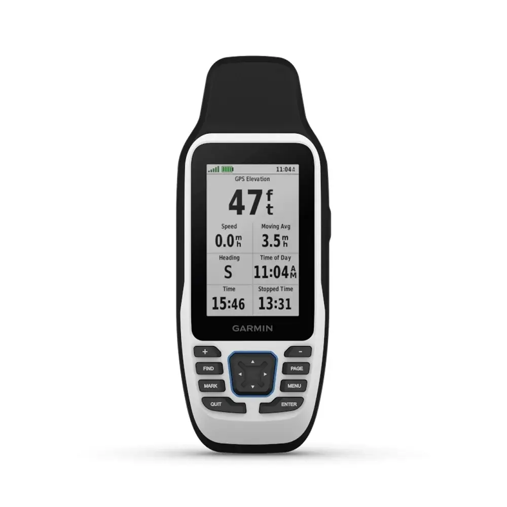
Garmin GPSMAP 79s – GPS marine original, waterproof, IPX7, memori 8 GB, baterai hingga 19 jam, interface NMEA0183, standar militer MIL-STD-810
Garmin GPSMAP 79s – Marine Handheld With Worldwide Basemap
Garmin GPSMAP 79s adalah pilihan yang tepat bagi para pelaut yang membutuhkan alat navigasi yang akurat dan mudah digunakan. Dengan fitur-fitur yang dimiliki, alat ini dapat menjadi teman setia anda saat dalam pelayaran.
Fitur-Fitur Garmin GPSMAP 79s
Baterai Awet
Diperkuat dengan baterai AA yang dapat diganti (tidak termasuk), alat naviasi kapal ini dapat digunakan hingga 19 jam dalam mode GPS.
Pelacakan Akurat
GPS kapal atau GPS marine ini mendukung berbagai sistem satelit, seperti GPS, GLONASS, Galileo, QZSS dan SBAS.
Waterproof
GPS kapal laut ini memiliki sertifikasi standar IPX7 yang dapat bertahan di dalam air hingga kedalaman 1 meter selama 30 menit.
Memori yang Lebih Besar
Dengan kapasitas memori yang lebih besar dibandingkan model sebelumnya, anda dapat menyimpan hingga 10.000 waypoint, 250 rute dan 300 file aktivitas kebugaran.
Kompas Internal
Dilengkapi kompas elektronik 3 sumbu dengan kompensasi kemiringan, GPS kapal laut ini menunjukkan arah dengan akurat bahkan saat kapal dalam keadaan diam.
Standar Militer MIL-STD-810
Alat navigasi kapal ini telah memenuhi standar militer MIL-STD-810 sehingga tahan suhu ekstrim hingga tahan banting.
Jenis Baterai
GPS handheld Garmin ini menggunakan 2 buah baterai AA (tidak termasuk dalam paket). Disarankan untuk menggunakan baterai jenis NiMH atau Lithium untuk performa optimal.
Memori
Selain itu, GPS kapal ini dilengkapi dengan memori internal sebesar 8 GB. Kapasitas ini cukup untuk menyimpan berbagai data, seperti: titik navigasi, rute dan log aktivitas.
Interface NMEA0183
GPSMAP 79s dilengkapi dengan port microUSB berkecepatan tinggi untuk transfer data dan pembaruan perangkat lunak. Selain itu, perangkat ini juga sesuai dengan standar NMEA 0183 yang terhubung dengan alat navigasi lain, seperti: NAVTEX, DSC dan fishfinder.
Spesifikasi Garmin GPSMAP 79s
| General | |
| Lens material | chemically strengthened glass |
| Dimension | 6.77 x 17.40 x 4.23 cm |
| Weight | 282g with batteries |
| Water rating | IPX7 |
| MIL-STD-810 | Yes (thermal, shock, water); bare unit only |
| Display Type | Transflective, 65K colour TFT |
| Display Size | 3.8 x 6.3 cm; 3″ diag (7.6 cm) |
| Display Resolution | 240 x 400 pixels |
| Battery type | 2 AA batteries (not included); NiMH or Lithium recommended |
| Battery life | Up to 19 hours |
| Memory/history | 8 GB |
| Interface | High speed microUSB and NMEA 0183 compatible |
| Maps & memory | |
| Preloaded maps | None |
| Ability to add maps | ✔ |
| Basemap | ✔ |
| Automatic routing (turn by turn routing on roads) for outdoor activities | Yes (with optional mapping for detailed roads) |
| Map segments | 15000 |
| Includes detailed hydrographic features (coastlines, lake/river shorelines, wetlands and perennial and seasonal streams) | Yes (downloadable from Garmin Express™) |
| Includes searchable points of interests (parks, campgrounds, scenic lookouts and picnic sites) | Yes (downloadable from Garmin Express™) |
| Displays national, state and local parks, forests, and wilderness areas | Yes (downloadable from Garmin Express™) |
| Storage and Power Capacity | Yes (32 GB max microSD™ card, not included) |
| Waypoints/favourites/locations | 10000 |
| Tracks | 250 |
| Navigation Track Log | 20,000 points, 250 saved gpx tracks, 300 saved fit activities |
| Navigation Routes | 250, 250 points per route; 50 points auto routing |
| Rinex logging | ✔ |
| Sensors | |
| GPS | ✔ |
| Galileo | ✔ |
| QZSS | ✔ |
| SBAS | ✔ |
| Compass | Yes (tilt-compensated 3-axis) |
| High sensitivity receiver | ✔ |
| GPS compass (while moving) | ✔ |
| Outdoor recreation | |
| Point to point navigation | ✔ |
| Area calculation | ✔ |
| Fish forecast | ✔ |
| Geocaching friendly | Yes (paperless) |
| Custom maps compatible | ✔ |
| Picture viewer | ✔ |
| Security Information | |
| Security updates until at least (YYYY-MM-DD) | 26/10/2023 |
Related products
Alat Navigasi
Alat Navigasi
Alat Navigasi
Radio Marine
Alat Navigasi
Alat Navigasi

